The Angle of Arrival (AoA) technology has been introduced to Bluetooth Low Energy(BLE) since Bluetooth 5.1 Core Specification for Bluetooth Direction’s purpose. It is intended to increase the location accuracy compared with received signal strength indication(RSSI).
Working Principle of AoA Location Finding
In the angle of arrival (AoA) method, the device to which direction is being determined, such as a BLE tag in an RTLS solution, transmits a particular direction-finding signal using a single antenna. The receiving device, such as an AoA locator in that same RTLS solution, has multiple antennae arranged in an array.
As the transmitted signal crosses the variety, the receiving device sees a signal phase difference due to the distance from each antenna in its array to the transmitting antenna. The receiving device takes IQ samples of the signal while switching between the active antenna in the array.
The receiving device can calculate the relative signal direction based on the IQ sample data. The AoA direction finding method is intended for use with RTLS and proximity solutions, such as item finding and point of interest (PoI) information services.
Examples of Angle of Arrival Technology
Key proximity and positioning use cases reap the benefits of the new Bluetooth direction-finding feature.
Item Finding Solutions
Item finding solutions stand to experience a big bump in user experience. Once smartphone vendors integrate Bluetooth Direction Finding with AoA support into their phones, item-finding solutions can leverage directional information. This means they’ll be able to identify how close a misplaced item is and determine its direction, eliminating the need for guesswork when finding lost items.
PoI Information Solutions
PoI information solutions could also benefit from direction findings with AoA being added to smartphones. Imagine a room in a museum with multiple exhibits that have associated beacons. Currently, a PoI information application on a smartphone can inform a user of all the exhibits in the room and allow them to select one to receive additional information. With direction-finding support, users can simply point their smartphones at a specific exhibit to get more information on that item.
RTLS Solutions
By implementing direction findings, RTLS gateway Bluetooth solutions could improve location accuracy down to the centimeter level in the right deployment environment. RTLS with direction finding will enable a factory to track the location and flow of materials with greater precision while also alerting workers before they go into unsafe work areas.
IPS Solutions
IPS solutions also stand to benefit from direction-finding support. Imagine a positioning system that can navigate a fan visiting a large stadium venue not just to their section but to their seat.
Or a shopper in a store not just to the area or aisle a product is on but to the shelf. In addition, IPS solutions with direction finding may require fewer locator beacons to achieve greater accuracy, bringing further efficiency to deployments. And the accuracy gained will also provide incremental data and knowledge on the interaction between products and consumers.
The Bluetooth® community continually enhances the technology to address new market opportunities while meeting the ever-expanding needs of traditional markets and use cases. The addition of direction finding is the latest in a series of recent advancements, and it brings established, time-tested methods for determining the direction of the signal to a proven, trusted radio.
Download this paper, Enhancing Bluetooth Location Services with Direction Finding, to learn more about how the Bluetooth community enhances Bluetooth Location Services solutions.
The Difference Between AoA and AoD
In the angle of departure (AoD) method, the device to which direction is being determined, such as a locator beacon in an IPS solution, transmits a special signal using multiple antennae arranged in an array. The receiving device, such as a mobile phone in that same IPS solution, has a single antenna.
The angle of Arrival(AoA)
Assets broadcast (TX) their location to an AoA locator such as a wireless access point (AP), connected light, or smart luminaire, and AoA Locators measure the signal’s arrival angle.

The angle of departure(AoD)
Beacons transmit AoD information, such as coordinates using multiple antennas.
Mobile devices receive the beacons and calculate their position.
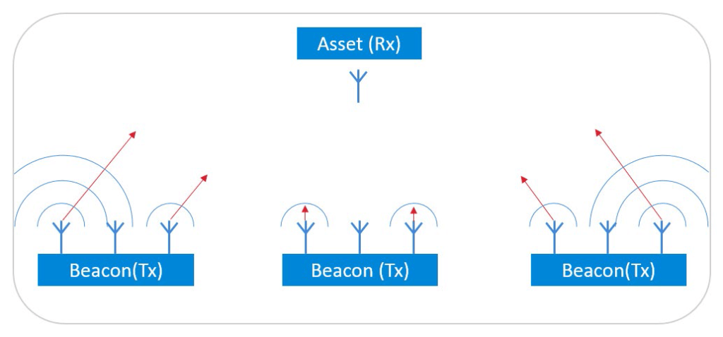
Compared with the AoD method, the AoA solution relies less on the tags but more on the locators. In a normal use case, the number of Tags is much more than the AoA locators. Therefore the cost is minimized.
CTE Transmitter and Receiver
Bluetooth 5.1 introduced the concept of Constant Tone Extension (CTE) to support Direction Finding. CTE, as its name suggests, extends the Bluetooth packets with a constant tone, with a continuous phase, constant amplitude, and frequency signal sent immediately after the CRC of the Bluetooth packet. The length of this extension varies between 16 μs – 160 μs. This signal can be used on the receiver side to measure the phase of the incoming signal on multiple antennas.

To learn more about CTE, see the Technical Overview of Bluetooth Direction Finding published by the Bluetooth SIG:https://www.bluetooth.com/wp-content/uploads/Files/developer/1903_RDF_Technical_Overview_FINAL.pdf and Bluetooth Core Specification v5.1 or later.
Constant Tone Extension (CTEs) can be sent:
• Over Bluetooth connections using the Link Layer Constant Tone Extension Request procedure (connection-oriented mode).
• In periodic advertisements, if the CTEInfo field is present (connectionless mode).
Real-Time Location (RTL) Library by Silicon Labs to Save Time for AoA Locator Hardware Development
Dusun IoT implemented the RTL solution provided by Silicon Labs to release the AoA data collection. Estimating the Angle of Arrival (AoA) or Angle of Departure (AoD) from IQ samples is not trivial, especially in a real environment full of reflections.
To ease the burden for developers and to speed up time-to-market, Silicon Labs provides a Real-time Locating library (RTL lib), which processes the IQ samples received from the Bluetooth stack, implements multipath detection and azimuth and elevation calculation, and exposes the data to the application via an open API.

Furthermore, the library is also able to estimate the location of a tracked asset in a multi-locator scenario using triangulation, where multiple locators receive CTEs from the same asset tag, provided that the library knows the position of each locator. In this case, the positions of the locators and the estimated angles (AoA) serve as the input, and the estimated location is the output.

Once the positions are estimated, it is up to the user’s application how to process the data. The general architecture of an RTLS using Silicon Labs RTL library looks like this:

Dusun IoT Hardware Application on BLE AOA
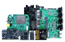
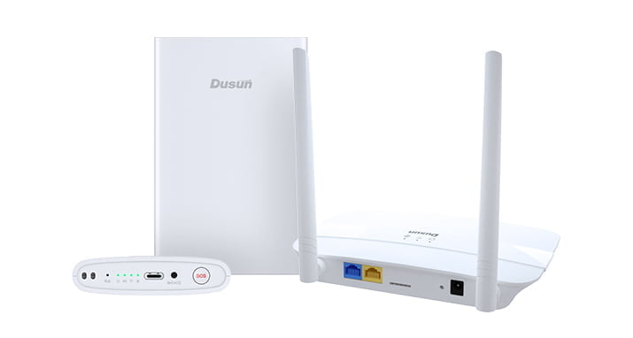
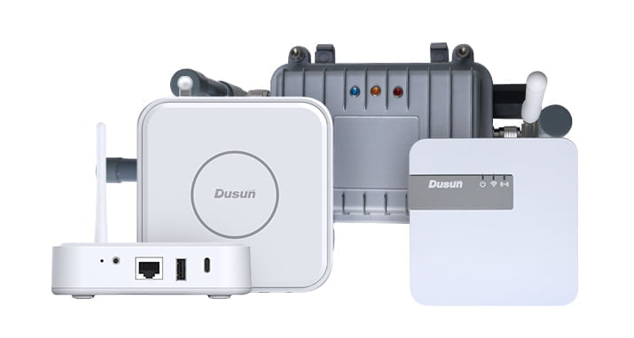
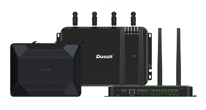
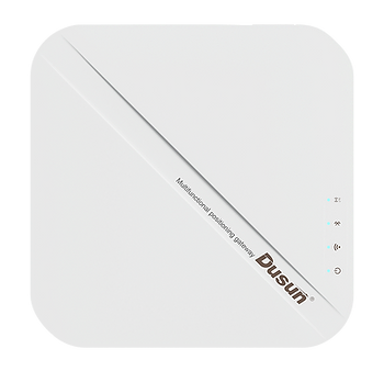
Dusun proposed a Bluetooth 5.1 AOA Development Kit for BLE AoA technology, including the locators and tags. The included DSGW-200 AoA locator has a powerful Cortex-A53,64-bit Quad-core CPU and EFR32BG22 BLE chip from Silicon Labs.
The tags were also specially designed for AOA usage powered by an EFR32BG22 chip and functioned in enhanced AoA mode. This advanced AoA mode enabled about 1000 tags to function with only one locator system, which increased a lot of the extensibility of the whole system.

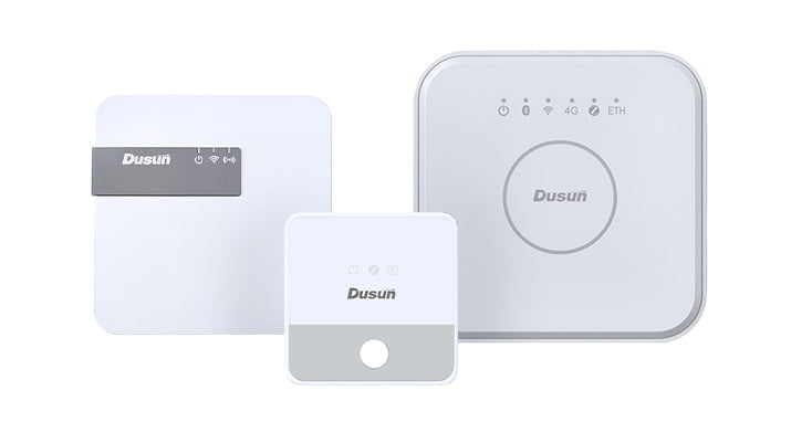
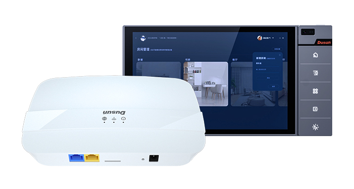
In addition, Dusun IoT provides an AoA gateway and beacon positioning hardware solution called BLE AoA Positioning Hardware Solution.
Dusun IoT uses the Angle of Arrival (AOA) positioning algorithm to reach the unique direction of the incoming wave and position of the tag, which improves the 5 -meter accuracy of traditional low-precision Bluetooth by ten times and reaches 0.1-0.5 meter average accuracy. The system supports Bluetooth 5.1 and is backward compatible with all Bluetooth 4.0 tags or phones.
How to Install and Deploy AoA Locator
The AoA locator supports single and multiple deployment modes. The installation scenarios are divided into roof installation and wall installation, which correspond to different steps. Customers can log into the gateway Luci browser to configure the locator and obtain AoA data. For more information, see AOA locator implementation.
When Delpoying Single AoA Locator
When a single locator is deployed, it can only output the I/Q data, including the corresponding tag’s orientation and pitch angles. This data is the cardinal output data of each Bluetooth positioning locator. This data is sent directly to the cloud platform of the positioning engine.
A single locator can calculate and obtain a unique spatial absolute coordinate according to the determined tag height.
Coverage depends on your installation height, Angle α maximum value:
Height =h , α= 60℃ ,Coverage r= h*tagα ≈2h
When Dlpoying Multi AoA Locators
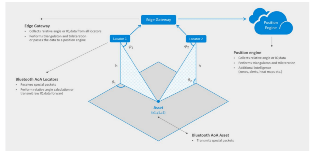
The strap-down combination of multiple gateways obtains a larger positioning coverage space, and multiple anchor course angel calculations improve global spatial accuracy.
You can achieve your positioning needs through 2 solutions. One is the positioning algorithm in the cloud platform. The other is the positioning algorithm in the edge gateway.
Suppose you are a company with your positioning algorithm or run the positioning algorithm on your platform. In that case, you can select that the locator sends the I/Q data to your platform directly.

If you only need to simply integrate into your map application, you can use the edge gateway solution to output x, y, and z coordinates to your application platform. You can configure the locator as an edge Gateway on the locator’s configuration page. As a local server, the edge gateway accepts I/Q data from other locators and calculates X, Y, and Z coordinates.
Secondary Development on AoA Locator Hardware
Dusun IoT’s AoA locator is fully open source and supports a full scale of customized development. The sdk package for implementation of the AOA locator is stored in the locator we sent. Therefore users can carry out any modification of the algorithm for the location system.
Explore: IoT Gateway Development

Reasons to Choose Dusun IoT’s BLE AoA Positioning Solution
The characteristics of the BLE AoA solution make it popular in modern application positioning scenarios. Its advantages and values are inherent and unique to the Dusun solution.
High Precision
BLE AoA can achieve sub-meter accuracy of about 0.3-0.5 meters, which is almost the same as that of UWB solutions.
High Concurrency
Each AoA locator can be connected to about 1000 tags, greatly expanding the breadth of the entire positioning system network.
Low Power Consumption
The solution is based on BLE and has low power consumption. Its service life can reach about five years. This reduces the cost for customers to use.
Low Cost
The system cost is lower than the UWB system, and the AOA label price is less than 15 US dollars. The Bluetooth ecosystem has enabled more accurate tracking for devices indoors and outdoors at a low cost.
Small Size
BLE AoA tags come in many different shapes, the smallest being the size of a coin.
Major Ecosystems
Bluetooth is the most widely used wireless protocol compatible with most devices, creating a large ecosystem. The standard Bluetooth protocol makes docking easier and easier.
Open API
All devices have open API interfaces to connect to customers’ private and shared platforms. For customers, it is easy to carry out secondary development and can be adjusted according to actual project needs.
PoE Support
Dusun IoT’s BLE AoA solution is easy to install and supports PoE power supply. It saves customers the trouble of installing additional power cables, and one network cable can solve the problem.
Compatible with CAD Map
The deployment planning is simple and can be arranged by standard planning software based on the customer’s CAD map. DUSUN currently cooperates with the platform provider Navigine to realize this function easily and simply.
Certification Authority
Dusun IoT provides multiple AoA locator gateways and beacons for various scenarios, meeting waterproof outdoor conditions. And all the devices provided by DUSUN comply with the wireless certification and security certification, FCC, CE, CCC, and UL. Customers’ needs in various scenarios will be met without the need for time and effort to find suitable and compatible equipment.

